Special edition
Custom map posters of your city, ZIP code or hometown
Type a city, a ZIP or postcode, a street address or a village. DT Posters draws its real streets, rivers, parks and coastline as a clean piece of art you'd hang in a living room, not a road map.
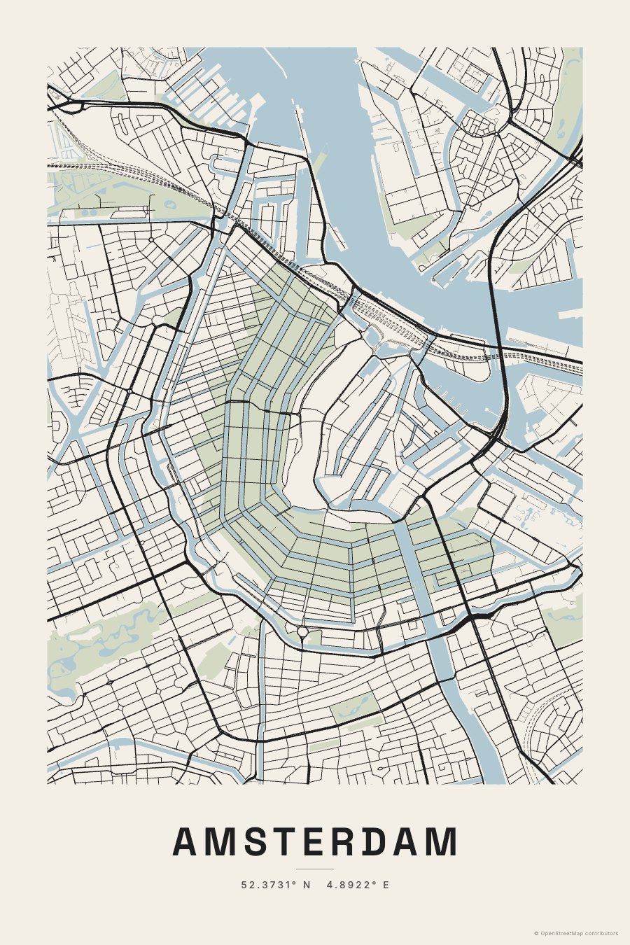
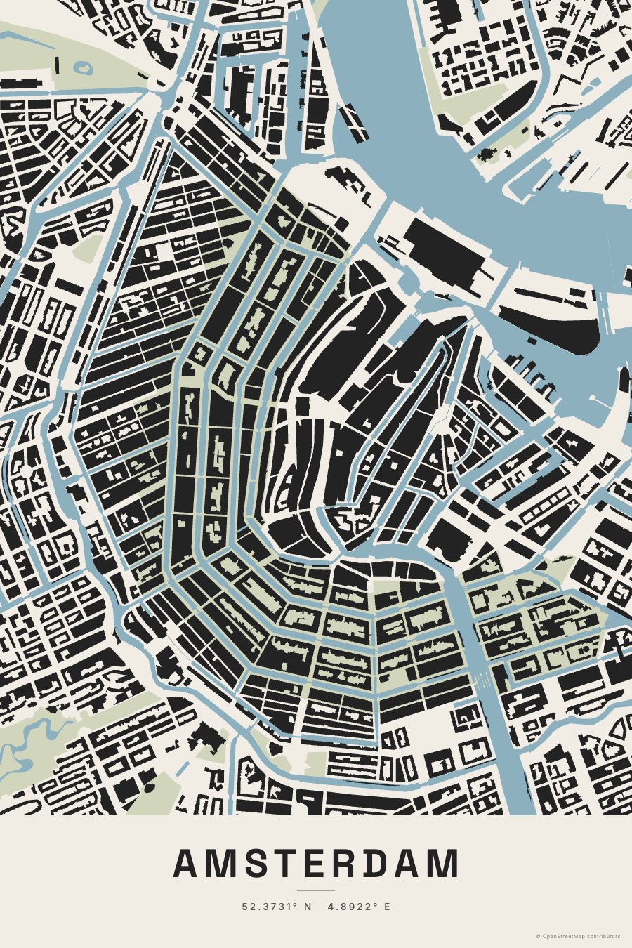
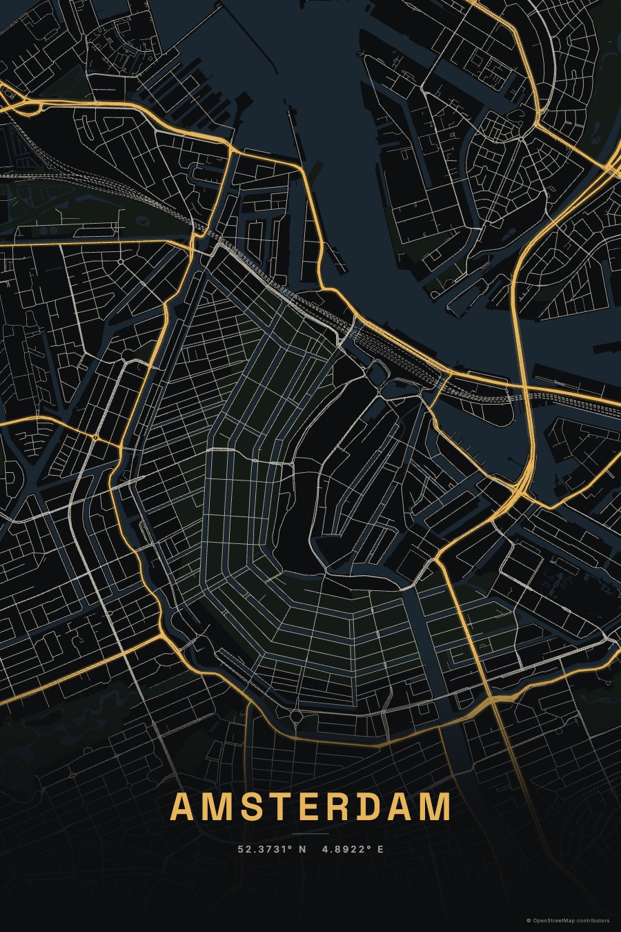
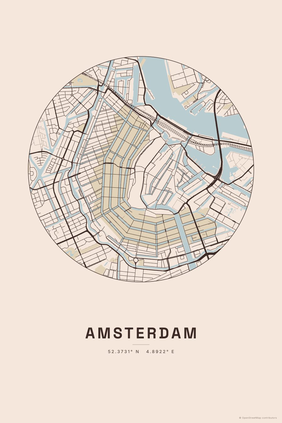
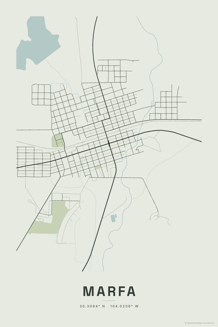
Accurate to where you live
The streets come from OpenStreetMap, the world map built and kept up to date by millions of volunteers, the same data many navigation and delivery apps rely on. That's why it works for a farm road or a small town as well as a capital city: if a road, creek or park is mapped, it's on your poster.
Six ways to draw a place
Atlas
The classic: fine roads weighted by size, soft water and parks, your place name beneath.
Figure-ground
Buildings in solid ink and streets left white, after Giambattista Nolli's famous 1748 plan of Rome. It shows the grain of a neighbourhood like nothing else.
Blueprint
White linework on deep blue, hatched water and a drafting-style title block.
Noir
A night map: main roads glow gold over a near-black city.
Circle
The map cropped to a circle with generous paper around it, calm and graphic.
Linework
Roads only, in pure line: the most minimal of the six.
Small towns and the countryside
Rural places get a wider view automatically, so a hamlet or a farm still fills the sheet with its roads, tracks and streams. You can zoom in or out, change the line weight, and choose how much detail to show: footpaths, service roads and buildings.
What's written on it
Only what you choose: the place name, the place name with its coordinates, or nothing at all. You can rename it too: a family name, "Our first home", a nickname for the town. A tiny "© OpenStreetMap contributors" credit sits in the corner, because the map data's licence asks for it.
Gift ideas
- A first home, or the house you grew up in
- The town where you met, married or were born
- A college town, a favourite city, a trail you hike
- A family farm or ranch, drawn from its own roads and creeks
Questions
Can I make a map of a small town or rural area?
Yes. Search the town, village or a nearby address; rural places get a wider view automatically, and you can zoom in or out.
Does it work with ZIP codes and postcodes?
Yes. A five-digit number is treated as a US ZIP code; postcodes from other countries work too.
Where does the map data come from?
OpenStreetMap, the volunteer-built world map. Its licence asks for a small "© OpenStreetMap contributors" credit, which sits in the corner of the poster.
Can I change the name on the poster?
Yes. Show the place name, the name with coordinates, nothing at all, or your own words.
Make one that's yours
Pick a style, play until it feels right, and see it on a wall at true size. It takes a minute.
Make my one-of-a-kind print →